Map Utility Class. More...
 Collaboration diagram for ilMapUtil:
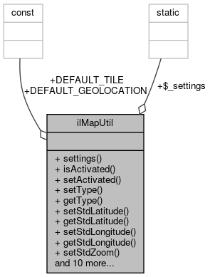
Static Public Member Functions | |
| static | settings () |
| static | isActivated () |
| Checks whether Map feature is activated. More... | |
| static | setActivated ($a_activated) |
| static | setType ($a_type) |
| static | getType () |
| static | setStdLatitude ($a_lat) |
| static | getStdLatitude () |
| static | setStdLongitude ($a_lon) |
| static | getStdLongitude () |
| static | setStdZoom ($a_zoom) |
| static | getStdZoom () |
| static | setApiKey ($a_api_key) |
| static | getApiKey () |
| static | setStdTileServers ($a_tile) |
| static | getStdTileServers () |
| Returns the tile server to be used in the installation. More... | |
| static | setStdGeolocationServer ($a_geolocation) |
| static | getStdGeolocationServer () |
| Returns the reverse geolocation server to be used in the installation. More... | |
| static | getDefaultSettings () |
| Get default longitude, latitude and zoom. More... | |
| static | getMapGUI () |
| Get an instance of the GUI class. More... | |
| static | getAvailableMapTypes () |
| Get a dict { $id => $name } for available maps services. More... | |
Data Fields | |
| const | DEFAULT_TILE = "a.tile.openstreetmap.org b.tile.openstreetmap.org c.tile.openstreetmap.org" |
| const | DEFAULT_GEOLOCATION = null |
Static Public Attributes | |
| static | $_settings = null |
Detailed Description
Member Function Documentation
◆ getApiKey()
|
static |
Definition at line 114 of file class.ilMapUtil.php.
References settings().
Referenced by ilObjExternalToolsSettingsGUI\editMapsObject(), and ilGoogleMapGUI\getHtml().
Here is the call graph for this function: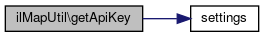 Here is the caller graph for this function:
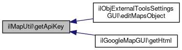
◆ getAvailableMapTypes()
|
static |
Get a dict { $id => $name } for available maps services.
- Returns
- array
Definition at line 192 of file class.ilMapUtil.php.
Referenced by ilObjExternalToolsSettingsGUI\editMapsObject().
Here is the caller graph for this function: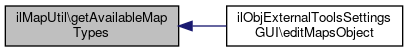
◆ getDefaultSettings()
|
static |
Get default longitude, latitude and zoom.
- Returns
- array array("latitude", "longitude", "zoom")
Definition at line 157 of file class.ilMapUtil.php.
References settings().
Referenced by ilPersonalProfileGUI\addLocationToForm(), ilADTLocationFormBridge\addToForm(), ilADTLocationSearchBridgeSingle\addToForm(), ilObjCourseGUI\editMapSettingsObject(), and ilObjGroupGUI\editMapSettingsObject().
Here is the call graph for this function: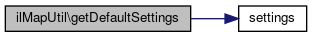 Here is the caller graph for this function:
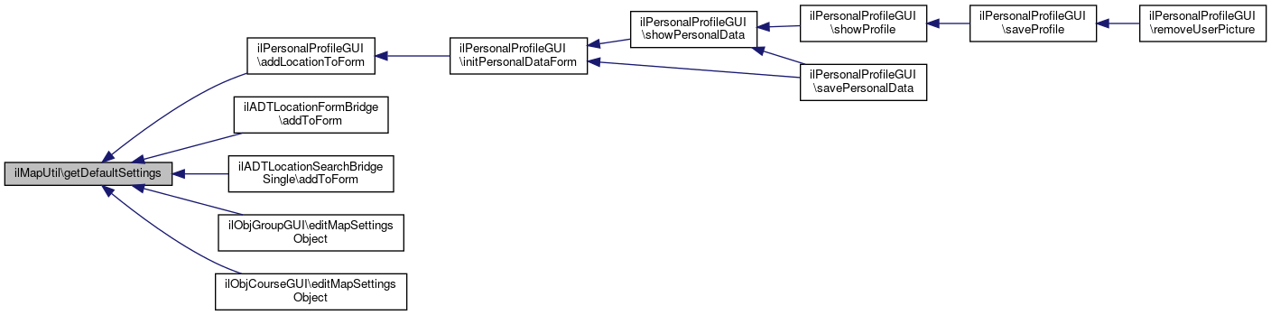
◆ getMapGUI()
|
static |
Get an instance of the GUI class.
Definition at line 168 of file class.ilMapUtil.php.
References $type, and getType().
Referenced by ilPublicUserProfileGUI\getEmbeddable(), ilADTLocationPresentationBridge\getHTML(), ilLocationInputGUI\insert(), ilMembershipGUI\membersMap(), and ilPCMap\modifyPageContentPostXsl().
Here is the call graph for this function: Here is the caller graph for this function:
◆ getStdGeolocationServer()
|
static |
Returns the reverse geolocation server to be used in the installation.
- Returns
- string tile server url
Definition at line 146 of file class.ilMapUtil.php.
References DEFAULT_GEOLOCATION, and settings().
Referenced by ilObjExternalToolsSettingsGUI\editMapsObject(), and ilLocationInputGUI\geolocationAvailiable().
Here is the call graph for this function: Here is the caller graph for this function:
◆ getStdLatitude()
|
static |
Definition at line 84 of file class.ilMapUtil.php.
References settings().
Referenced by ilObjExternalToolsSettingsGUI\editMapsObject().
Here is the call graph for this function: Here is the caller graph for this function:
◆ getStdLongitude()
|
static |
Definition at line 94 of file class.ilMapUtil.php.
References settings().
Referenced by ilObjExternalToolsSettingsGUI\editMapsObject().
Here is the call graph for this function: Here is the caller graph for this function:
◆ getStdTileServers()
|
static |
Returns the tile server to be used in the installation.
- Returns
- string tile server url
Definition at line 129 of file class.ilMapUtil.php.
References DEFAULT_TILE, and settings().
Referenced by ilObjExternalToolsSettingsGUI\editMapsObject().
Here is the call graph for this function: Here is the caller graph for this function:
◆ getStdZoom()
|
static |
Definition at line 104 of file class.ilMapUtil.php.
References settings().
Referenced by ilObjExternalToolsSettingsGUI\editMapsObject().
Here is the call graph for this function: Here is the caller graph for this function:
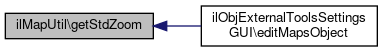
◆ getType()
|
static |
Definition at line 74 of file class.ilMapUtil.php.
References settings().
Referenced by ilObjExternalToolsSettingsGUI\editMapsObject(), ilLocationInputGUI\geolocationAvailiable(), getMapGUI(), and ilObjExternalToolsSettingsGUI\saveMapsObject().
Here is the call graph for this function: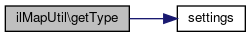 Here is the caller graph for this function:
◆ isActivated()
|
static |
Checks whether Map feature is activated.
API key must be provided.
- Returns
- boolean activated true/false
Definition at line 57 of file class.ilMapUtil.php.
References settings().
Referenced by ilPersonalProfileGUI\addLocationToForm(), ilObjCourseGUI\editMapSettingsObject(), ilObjGroupGUI\editMapSettingsObject(), ilObjExternalToolsSettingsGUI\editMapsObject(), ilPublicUserProfileGUI\getEmbeddable(), ilMembershipGUI\membersMap(), ilPersonalProfileGUI\savePersonalData(), ilObjCourseGUI\setSubTabs(), ilObjGroupGUI\setSubTabs(), ilMembershipGUI\setSubTabs(), ilPageObjectGUI\showPage(), and ilPersonalProfileGUI\showPublicProfileFields().
Here is the call graph for this function: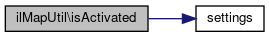 Here is the caller graph for this function:
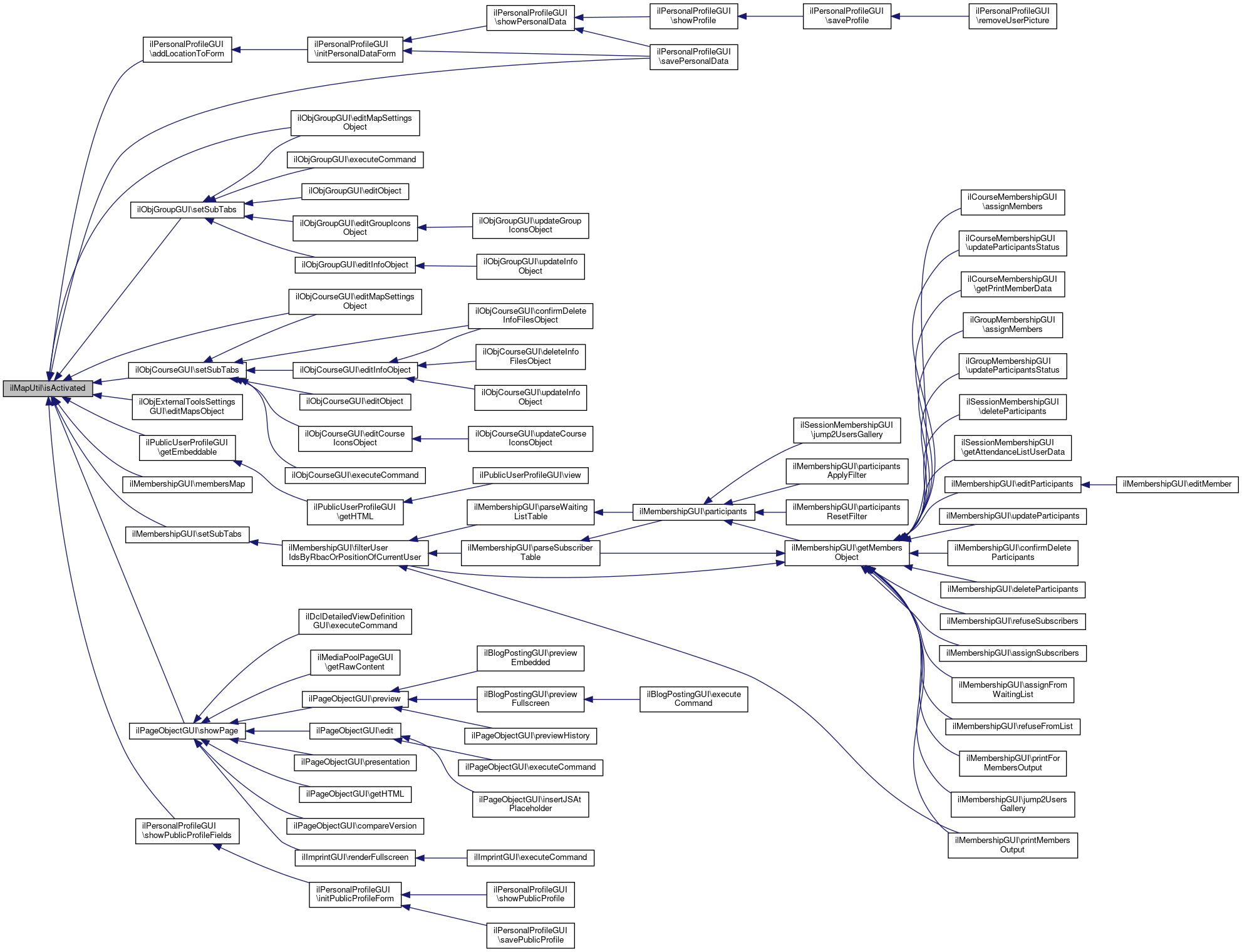
◆ setActivated()
|
static |
Definition at line 64 of file class.ilMapUtil.php.
References settings().
Referenced by ilObjExternalToolsSettingsGUI\saveMapsObject().
Here is the call graph for this function: Here is the caller graph for this function:
◆ setApiKey()
|
static |
Definition at line 109 of file class.ilMapUtil.php.
References settings().
Referenced by ilObjExternalToolsSettingsGUI\saveMapsObject().
Here is the call graph for this function: Here is the caller graph for this function:
◆ setStdGeolocationServer()
|
static |
Definition at line 136 of file class.ilMapUtil.php.
References settings().
Referenced by ilObjExternalToolsSettingsGUI\saveMapsObject().
Here is the call graph for this function: Here is the caller graph for this function:
◆ setStdLatitude()
|
static |
Definition at line 79 of file class.ilMapUtil.php.
References settings().
Referenced by ilObjExternalToolsSettingsGUI\saveMapsObject().
Here is the call graph for this function: Here is the caller graph for this function:
◆ setStdLongitude()
|
static |
Definition at line 89 of file class.ilMapUtil.php.
References settings().
Referenced by ilObjExternalToolsSettingsGUI\saveMapsObject().
Here is the call graph for this function: Here is the caller graph for this function:
◆ setStdTileServers()
|
static |
Definition at line 119 of file class.ilMapUtil.php.
References settings().
Referenced by ilObjExternalToolsSettingsGUI\saveMapsObject().
Here is the call graph for this function: Here is the caller graph for this function:
◆ setStdZoom()
|
static |
Definition at line 99 of file class.ilMapUtil.php.
References settings().
Referenced by ilObjExternalToolsSettingsGUI\saveMapsObject().
Here is the call graph for this function: Here is the caller graph for this function:
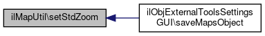
◆ settings()
|
static |
Definition at line 41 of file class.ilMapUtil.php.
References $_settings.
Referenced by getApiKey(), getStdGeolocationServer(), getStdLatitude(), getStdLongitude(), getStdTileServers(), getStdZoom(), getType(), isActivated(), setActivated(), setApiKey(), setStdGeolocationServer(), setStdLatitude(), setStdLongitude(), setStdTileServers(), setStdZoom(), and setType().
Here is the caller graph for this function: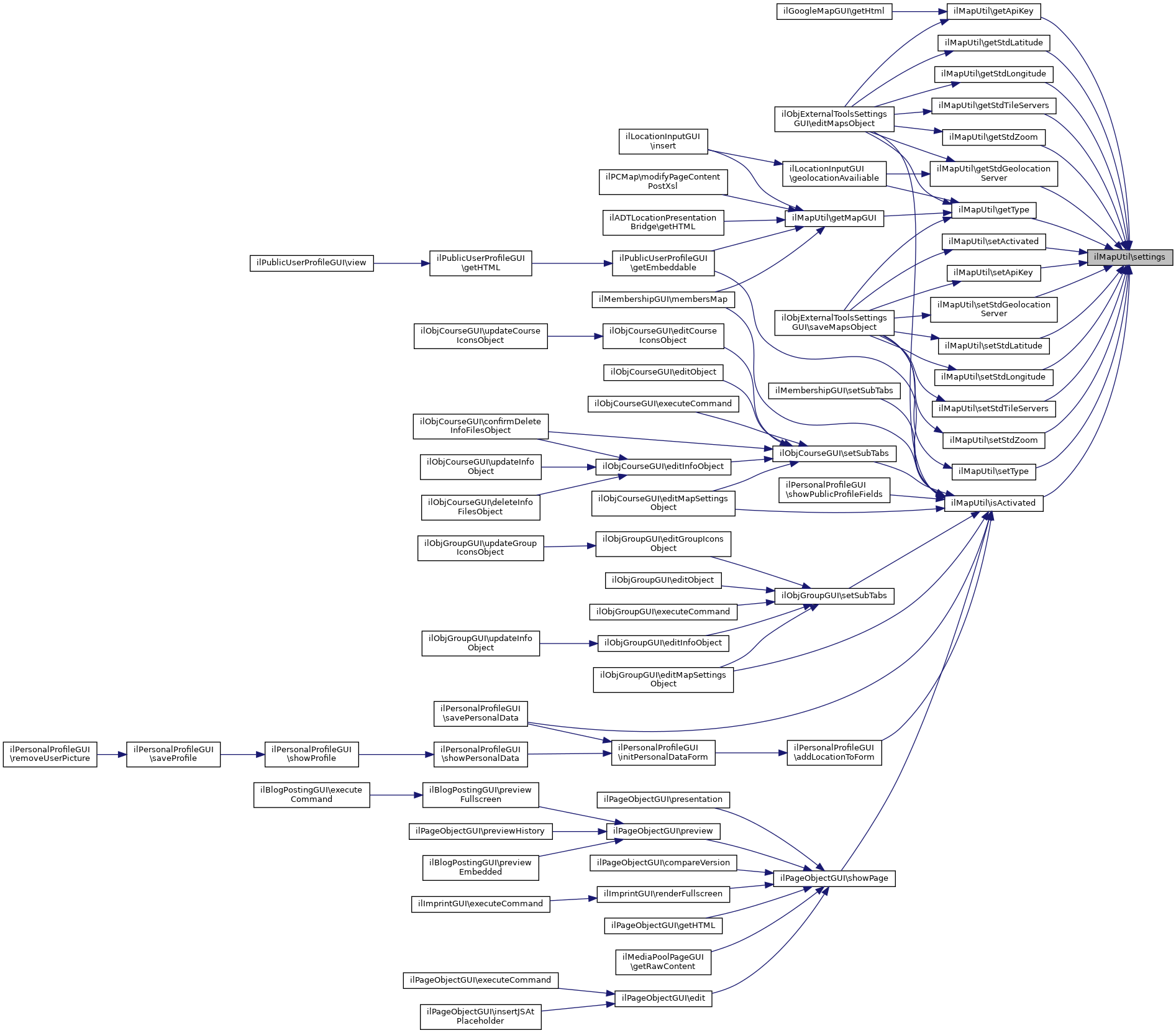
◆ setType()
|
static |
Definition at line 69 of file class.ilMapUtil.php.
References $a_type, and settings().
Referenced by ilObjExternalToolsSettingsGUI\saveMapsObject().
Here is the call graph for this function: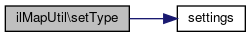 Here is the caller graph for this function:
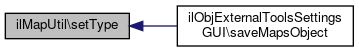
Field Documentation
◆ $_settings
|
static |
Definition at line 34 of file class.ilMapUtil.php.
Referenced by settings().
◆ DEFAULT_GEOLOCATION
| const ilMapUtil::DEFAULT_GEOLOCATION = null |
Definition at line 37 of file class.ilMapUtil.php.
Referenced by getStdGeolocationServer().
◆ DEFAULT_TILE
| const ilMapUtil::DEFAULT_TILE = "a.tile.openstreetmap.org b.tile.openstreetmap.org c.tile.openstreetmap.org" |
Definition at line 36 of file class.ilMapUtil.php.
Referenced by ilObjExternalToolsSettingsGUI\editMapsObject(), and getStdTileServers().
The documentation for this class was generated from the following file:
- Services/Maps/classes/class.ilMapUtil.php